
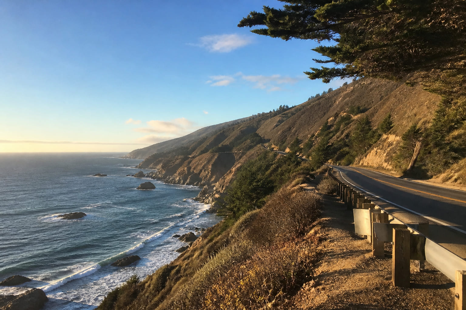
Pair this coastal drive with a broader California road trip, a gallery day in Carmel art galleries, or a city stop at Fisherman’s Wharf in San Francisco. For multi-stop logistics, see how to plan a multi-city vacation.
Compare flights into SFO, SJC, or Monterey, book hotels in Carmel or Monterey, and add USA travel insurance. Big Sur has almost no signal — an eSIM with offline maps helps. Prefer a guided coastal day? Browse Monterey Peninsula and Big Sur tours. Before long legs, run our road trip car checklist.
Route comparison: start in San Francisco or Los Angeles?
Your start city shapes the drive. Highway 1 hugs cliffs, so direction decides how close you sit to the ocean — and how easy photo stops feel.
| Factor | SF southbound (to LA) | LA northbound (to SF) |
|---|---|---|
| Driving lane | Closer to the ocean (outer edge) | Closer to the cliffs (inner edge) |
| Viewpoints | Easy pull-offs on the shoulder | Often need to cross oncoming traffic |
| Big Sur views | Panoramic top-down coastal vistas | Bottom-up views; hills can block the ocean |
| Road-trip verdict | Best choice for frequent stops | Less convenient for photo pullouts |
Ready-made Carmel frames: 1-day Carmel road trip, 1 day for couples, 3 days for a road trip, or 3 days for couples.
Top 5 Highway 1 attractions near Carmel
California’s Highway 1 delivers historic towns (Santa Barbara, Monterey) and wild reserves. Add these anchors to your AI itinerary — then continue inland to Sequoia in one day, Mammoth Lakes, or Lake Tahoe beaches.
1. Monterey Bay
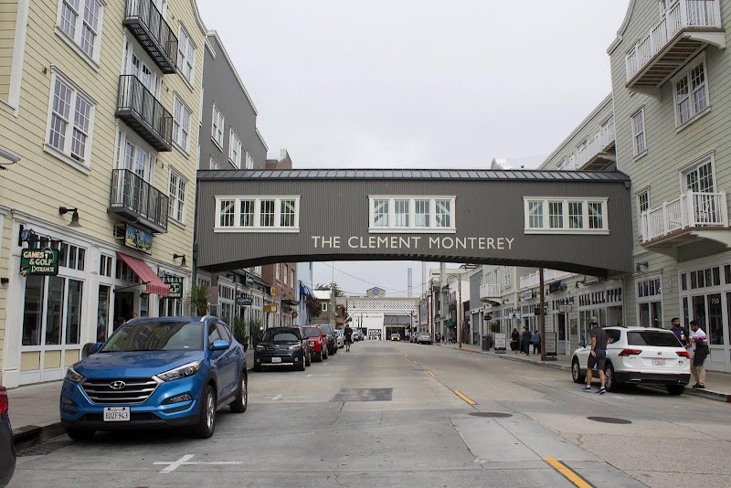
Former California capital with a world-famous aquarium and Cannery Row. A strong launch pad for the scenic coast drive south toward Carmel.
2. 17-Mile Drive
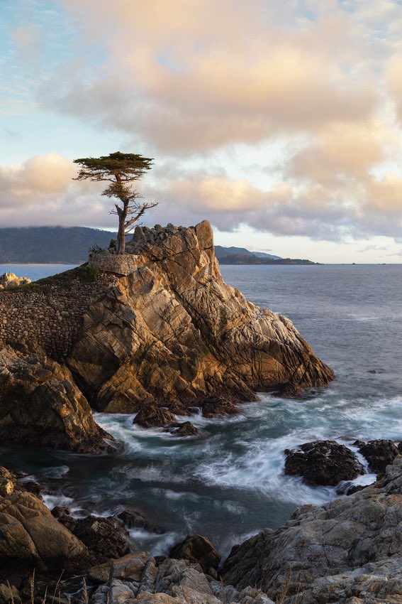
Toll scenic road between Monterey and Carmel — Pebble Beach golf, rocky shorelines, and the Lone Cypress. One of the most photographed stretches on the Monterey Peninsula.
3. Point Lobos State Natural Reserve
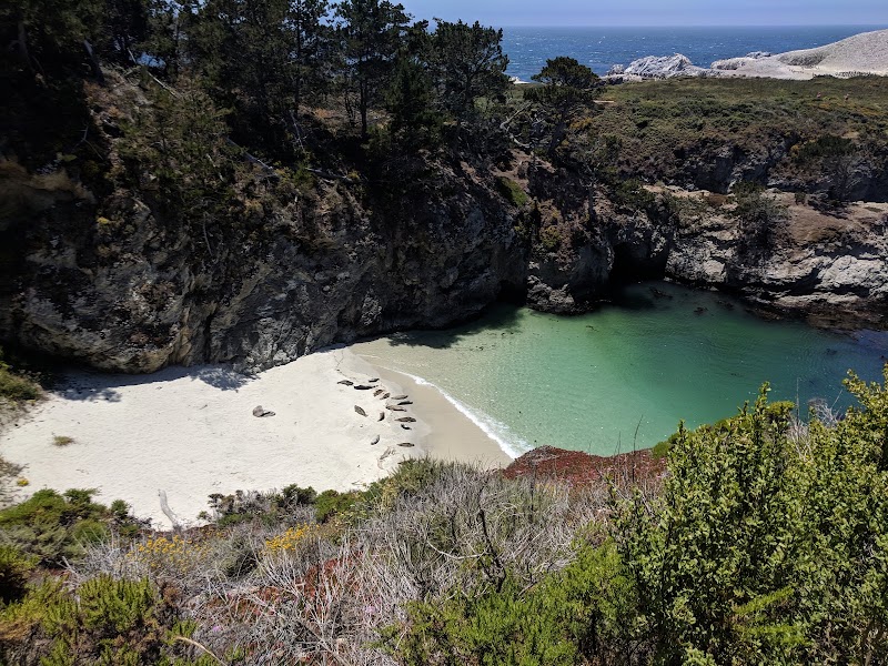
Just a few miles south of Carmel. Sea otters, seals, and rare Monterey cypress views — short trails that reward even a 90-minute stop.
4. Bixby Creek Bridge
One of the world’s most photographed bridges, rising about 79 meters above the canyon — the dramatic gateway into Big Sur on Highway 1.
5. Piedras Blancas elephant seals
Giant elephant seal rookeries farther south. Best viewing window is December through March; arrive early for parking on busy weekends.
Build your Carmel–Big Sur day by day
Enter dates, pace, and “road trip” — AlpacaBag spaces Bixby, Point Lobos, and Carmel Beach so you are not racing Highway 1 after dark.
What to see and where to eat in Carmel-by-the-Sea
Carmel feels European on the American coast: no streetlights, no house numbers, no neon — and Clint Eastwood once served as mayor. For culture between drives, use our Carmel galleries guide.
Architecture & shopping: Walk Ocean Avenue and look for Hugh Comstock’s 1920s Fairytale Cottages.
Carmel Beach: White sand and a famously dog-friendly town culture — ideal sunset stop after 17-Mile Drive.
Mission San Carlos Borromeo: One of California’s most authentically restored Spanish missions, founded in 1770.
Food: Fifty-plus restaurants. Try seafood at Casanova or book La Bicyclette (French–Italian). Budget nights and fuel with the travel budget calculator; pick season via the best time to travel guide. Prefer fall foliage inland? Compare with Vermont scenic drives.
Ready-made routes
Routes for your destination
Day-by-day plans you can adapt to your dates right away.
FAQ
How many days for a Pacific Coast road trip near Carmel?
Two days cover San Francisco to Carmel and Big Sur at a comfortable pace. For the full Highway 1 run to Los Angeles with Santa Barbara stops, allow at least 4–5 days.
When is the best time to drive Highway 1?
September and October are ideal: sunny days with fewer coastal fog banks that often hide the ocean in summer (“June Gloom”).
What non-obvious items should you pack in the car?
Download offline maps — south of Carmel through Big Sur, cell coverage is nearly zero. Bring layered clothing: ocean wind can swing temperatures 10–15°C within a few hours.
Where should you stay overnight?
Lodging inside Big Sur is premium (often $400+ per night). It is usually smarter and cheaper to book hotels in Monterey or Carmel and drive the scenic stretches in the morning.